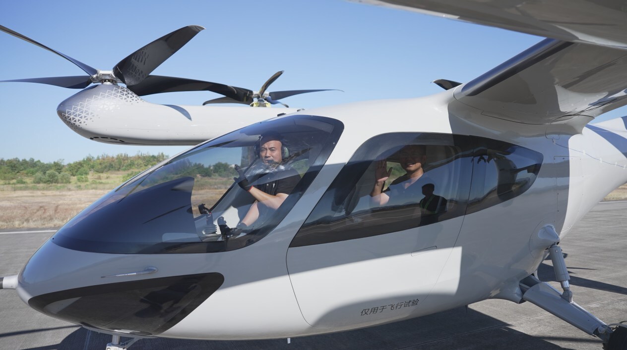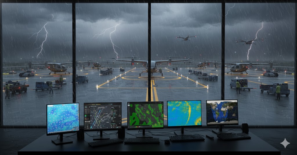
Weather remains one of the toughest problems facing Advanced Air Mobility. Electric vertical takeoff and landing aircraft need to navigate an atmosphere that changes fast at low altitudes, where wind gusts, microbursts, and turbulence appear without warning. The SkyGrid partnership with MIT Lincoln Laboratory, announced October 23, 2025, addresses this fundamental challenge. Safe, profitable air taxi operations require precise knowledge of atmospheric conditions around vertiports, ideally within fifteen-minute windows.
The Low-Altitude Weather Challenge
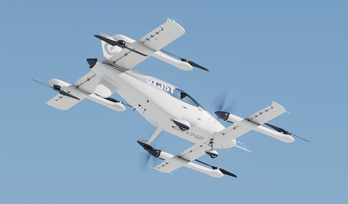
eVTOL aircraft operate in the planetary boundary layer, the lowest slice of atmosphere where buildings, terrain, and urban heat create localized atmospheric chaos. A microburst during final approach can drop an aircraft faster than pilots can react. Crosswinds in urban canyons behave nothing like the smooth air at cruising altitude where commercial jets fly. Current weather models built for traditional aviation lack the resolution to predict these hyperlocal phenomena. Airport weather readings provide minimal insight into conditions three blocks away near a downtown vertiport.
The partnership addresses this gap through a Cooperative Research and Development Agreement, combining SkyGrid's airspace integration expertise with MIT Lincoln Laboratory's decades of weather sensing, forecasting, and air traffic control work.
Jordan Cohen, SkyGrid's R&D Technical Lead, framed the challenge: "Advanced Air Mobility will best succeed if we can solve the weather challenge at scale". The team will integrate MIT's high-resolution forecast models into SkyGrid's simulation environments to determine exact weather requirements for automated operations. These simulations will define sensitivity thresholds, showing how forecast accuracy and resolution affect operational efficiency. The partners will benchmark MIT's High-Resolution Forecast model against NOAA's High-Resolution Rapid Refresh model to quantify improvements.
| Objective | Significance for AAM |
| Define Sensitivity | Determine how AAM operational efficiency is affected by the accuracy and resolution of weather forecasts. |
| Identify Requirements | Establish the precise weather-specific and system-level requirements needed for future AAM operations. |
| Benchmark Performance | Compare MIT Lincoln Laboratory’s High-Resolution Forecast (HRF) model against established models such as NOAA’s High-Resolution Rapid Refresh (HRRR). |
| Provide Data-Driven Insights | Develop scalable insights to ensure high-resolution weather data can unlock a higher operational tempo and automation level. |
By integrating MIT Lincoln Laboratory’s HRF models into SkyGrid’s simulation environment, the collaboration aims to ensure that weather data is not only available but also actionable.
The Broader AAM Weather Landscape: A Race for Precision
The SkyGrid-MIT partnership is a high-profile example of a broader industry trend: the race to master micro-weather forecasting for low-altitude operations. Several companies are tackling this challenge, highlighting the competitive and collaborative nature of the AAM ecosystem.
Industry-Wide Weather Solutions
| Company/Product | Focus/Key Contribution | Notable Partnerships |
| TruWeather Solutions | Specializes in precision aviation weather solutions for drones and AAM, focusing on next-generation micro-weather data collection and analytics. | Supernal (Hyundai’s AAM division), Xelevate, VOTIX, FFG. |
| Climavision | Provides hyper-accurate weather forecast data for drones and AAM, moving beyond generic forecasts to offer unparalleled precision for businesses and governments. | N/A (Focus on proprietary data and technology). |
| Meandair | Delivers Nowcasting (short-term, real-time) weather data streams, a critical component for real-time decision-making, to micro-weather data and analytics companies. | TruWeather Solutions. |
| NOAA’s HRRR Model | The High-Resolution Rapid Refresh model is a foundational, publicly available weather prediction system that serves as a benchmark for new HRF models. | Used as a comparison standard by many industry players, including the SkyGrid-MIT partnership. |
Several companies recognize that micro-weather forecasting determines operational viability. TruWeather Solutions partnered with Supernal, Hyundai's AAM division, in 2023. Supernal made a minority investment in TruWeather and plans to deploy the V360° system in launch markets, then make the infrastructure available to the broader AAM community. The V360° software delivers wind and weather updates every fifteen minutes with tens of meters of grid resolution at vertiports. Along flight corridors, resolution tightens to one kilometer, and the system captures how buildings influence wind flow.
Climavision offers another approach, focusing on hyper-accurate forecast data beyond generic models. Meandair specializes in nowcasting, providing real-time weather data streams that feed into analytics platforms like TruWeather's. NOAA's High-Resolution Rapid Refresh model serves as the baseline benchmark, the standard against which newer systems measure performance.
One expert assessment in 2024 placed micro-weather forecasting readiness at just 30% for small drones and eVTOLs operating in marginal weather around urban areas. The challenge compounds during beyond visual line of sight flights. Drone operators in North Carolina cancel up to 40% of flights due to weather, and roughly 30% of those cancellations happen because operators lack certainty about conditions along the route. This economic impact scales considerably when operations shift from package delivery to passenger transport.
What Success Looks Like
Micro-weather forecasting effectiveness shows itself through reduced flight cancellations and increased operational tempo. Supernal's Adam Slepian stated: "Better weather measurements mean better forecasts for AAM operations". The difference between turning back and completing a flight often comes down to knowing wind conditions sixty seconds before arrival, not sixty minutes. TruWeather's fifteen-minute update cycle begins to approach that requirement, though truly autonomous operations need even tighter loops.
The SkyGrid and MIT Lincoln Laboratory collaboration aims to define those requirements precisely through simulation. Once the models prove themselves in virtual environments, the transition to commercial deployment will determine whether AAM scales beyond demonstration projects. Operators need weather intelligence that indicates not just whether to fly, but how to route around localized hazards in real time. That capability, combined with the economic case for high-tempo operations, separates experimental programs from viable businesses.
The work happening now between research labs, software companies, and AAM operators builds the foundation for routine urban flight. Weather forecasting accuracy at the block-by-block level represents a fundamental requirement rather than an enhancement. The partnerships announced in 2023 and 2025 demonstrate industry recognition of this challenge. The next few years will prove whether the solutions meet operational demands.